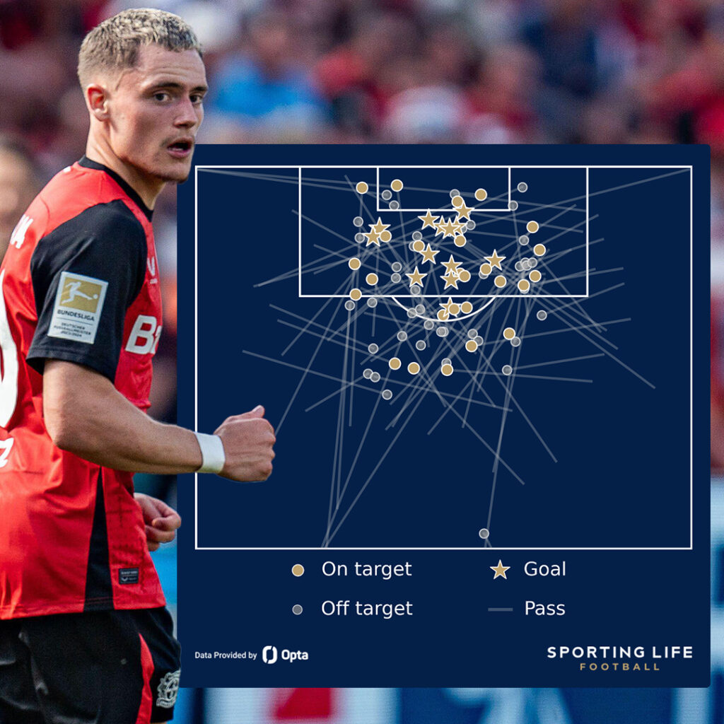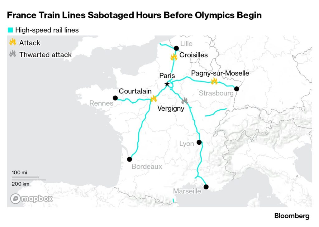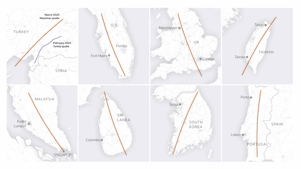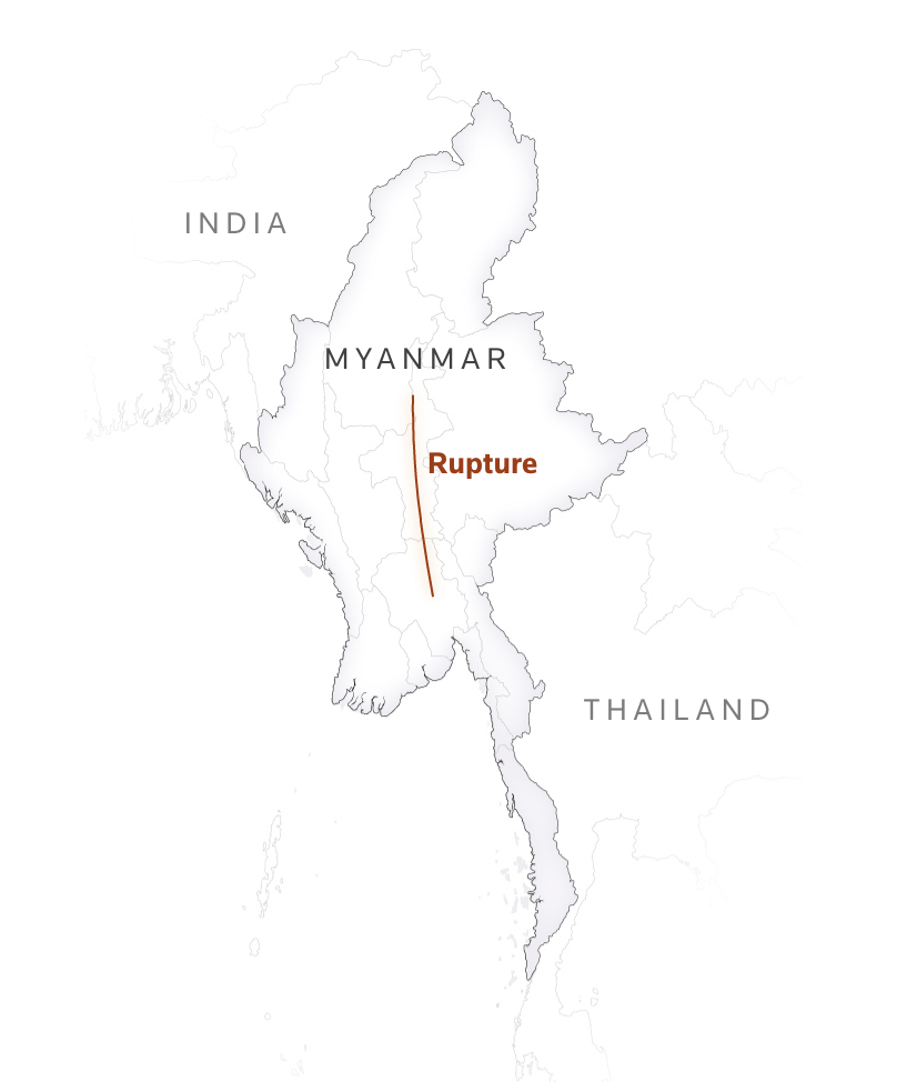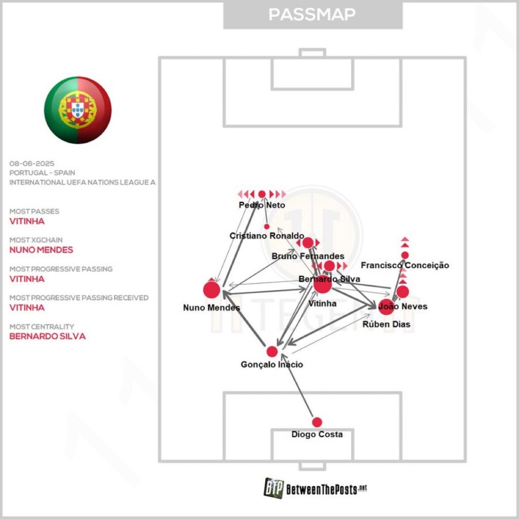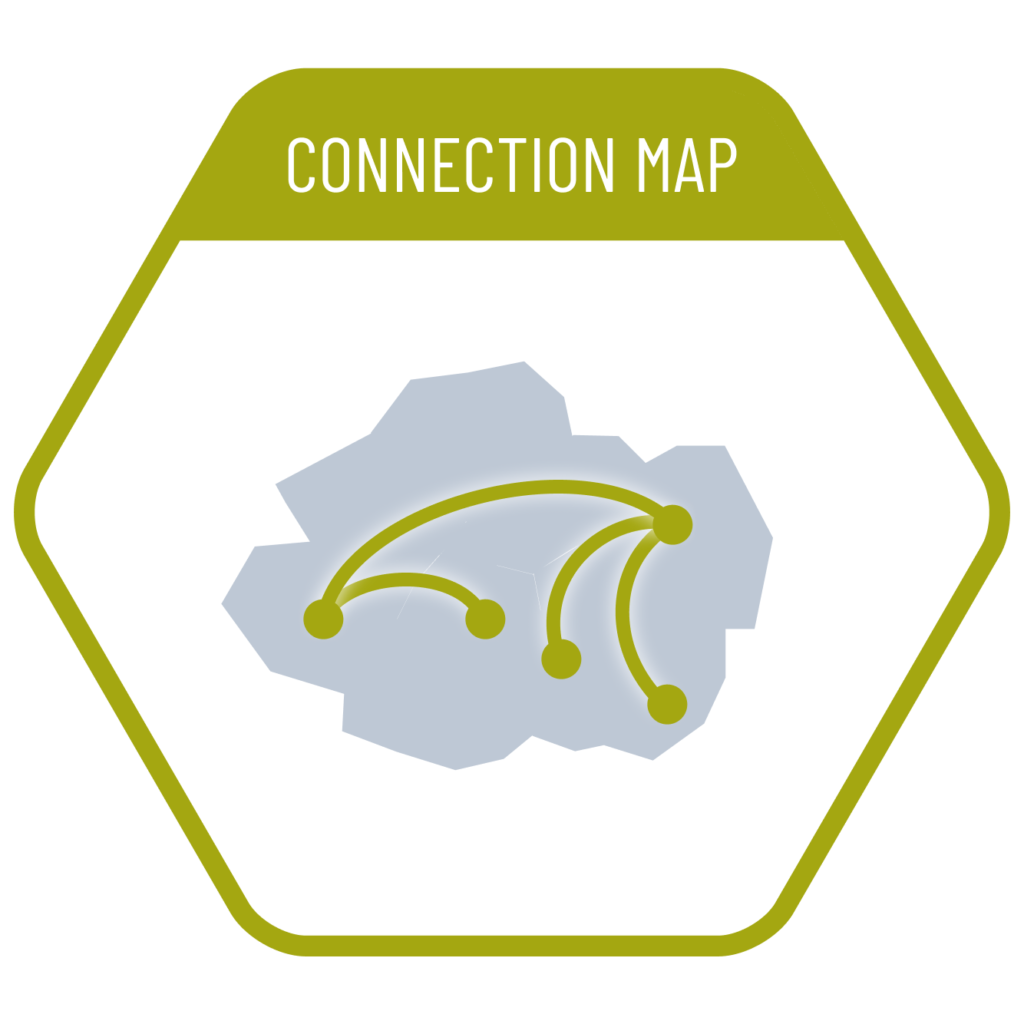
Connection maps are created by linking points on a map using straight or curved lines. These maps are effective for visualizing geographic connections and relationships, and they can also be used to display routes by following a specific chain of connections. In addition, they are highly useful for discovering spatial patterns and trends by analyzing the intensity or distribution of these connections.
VISUAL PERFORMANCE CHART
VISUAL CREATION PLATFORMS

SAMPLE IMAGES
Do you have any ideas or examples related to this graphic that you would like to see published here?
Share Here
